

Forts Program
NOAA's former Forts program sought to digitalize handwritten, 19th-century fort records (temperature/precipitation/other observations) across the United States. Fifteen stations in Florida were keyed; the closest to the Canaveral area was the Sanford fort. Unfortunately, no fort data for Florida are currently available online, and since the program was discontinued, the data probably will not be available online in the future. More information can be found at:
http://mrcc.isws.illinois.edu/research/cdmp/cdmp.html
| Location of Fort | Start Record Year | End Record Year |
|---|---|---|
| Fort Brooke | 1824 | 1888 |
| Fort Fanning | 1840 | 1843 |
| Fort Jefferson | 1861 | 1873 |
| Gainesville | 1856 | 1861 |
| Jacksonville | 1853 | 1892 |
| Jupiter | 1888 | 1892 |
| Key West | 1829 | 1892 |
| Miami | 1839 | 1891 |
| Pensacola | 1849 | 1892 |
| Punta Rassa | 1871 | 1883 |
| Sanford | 1883 | 1887 |
| St. Augustine | 1822 | 1899 |
| Tallahassee | 1859 | 1892 |
| Tampa | 1871 | 1892 |
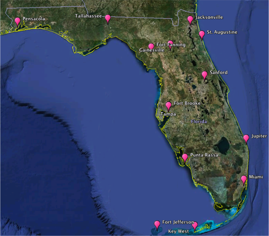
Map displaying the fort sites (pink) as documented in NOAA’s Forts program